


El Niño has returned. Here’s what the phenomenon means for extreme weather and global warming.
El Niño is currently underway, and the UN’s World Meteorological Organization (WMO) is warning that it could threaten lives and devastate agriculture in some parts of the world.
The global weather phenomenon refers to when waters in the Pacific Ocean become much warmer than usual.
After three years of the cooling La Niña weather pattern, El Niño has now returned and will last at least through the first half of 2024, according to the latest United Nations forecasts.
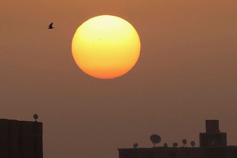
Temperature records have already been broken and El Niño could push the world past a new average temperature record.
"El Niño is normally associated with record breaking temperatures at the global level. Whether this will happen in 2023 or 2024 is not yet known, but it is, I think, more likely than not," says Carlo Buontempo, director of the EU's Copernicus Climate Change Service.
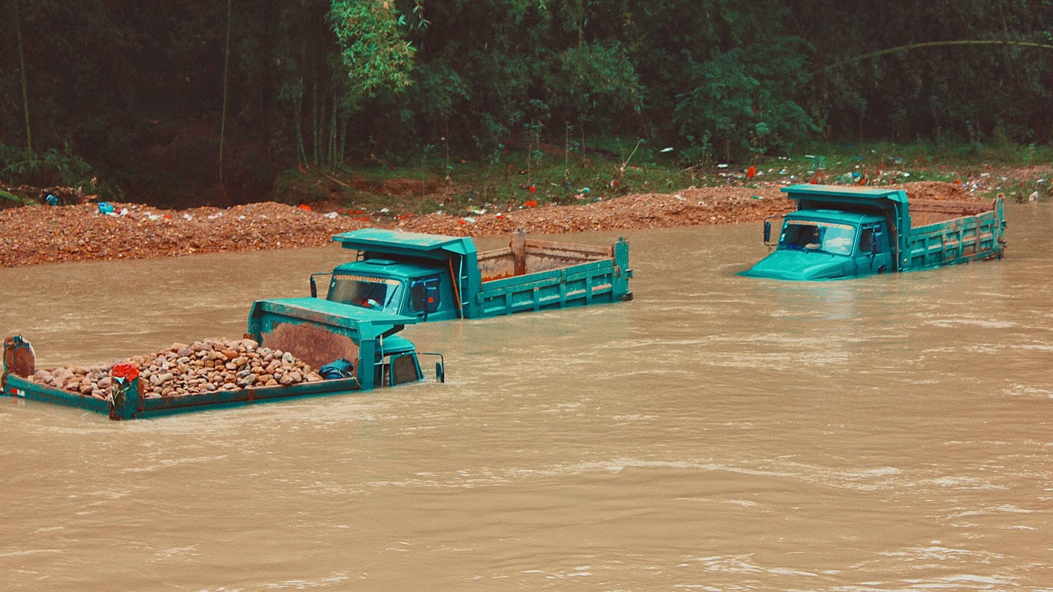
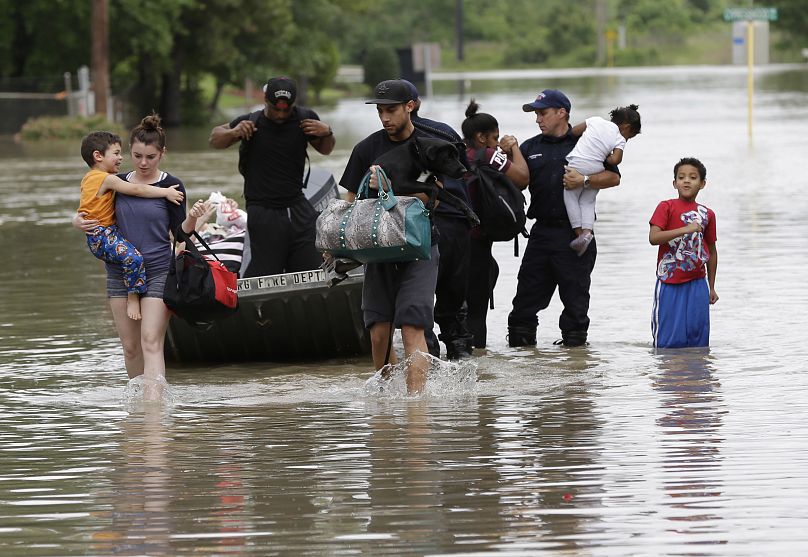
The climatic event could also have drastic weather effects like increased rainfall and stronger storms.
The WMO has urged governments to take adequate precautions in order to prevent loss of life.
“The declaration by WMO is the signal to governments around the world to mobilise preparations," says Petteri Taalas, the WMO secretary-general.
"Early warnings and anticipatory action of extreme weather events associated with this major climate phenomenon are vital to save lives and livelihoods.”
Rising sea temperatures are already threatening the animal population of the Galapagos Islands.
Here’s how climate scientists predict El Niño will affect global temperatures, weather and marine life.
What is El Niño?
The El Niño climate event is responsible for raising global temperatures and aggravating extreme weather events.
It is caused by ocean temperatures and winds in the Pacific that oscillate between warming El Niño and cooling La Niña.
This year is already predicted to be hotter than 2022 and the fifth or sixth hottest year on record.
The effects of El Niño take months to be felt and may mean 2024 breaks temperature records.
The world's hottest year on record so far was 2016, coinciding with a strong El Niño - although climate change has fuelled extreme temperatures even in years without the phenomenon.
The last eight years were the world's eight hottest on record - reflecting the longer-term warming trend driven by greenhouse gas emissions.
How does El Niño affect the weather?
El Niño pushes warm water in the Pacific Ocean eastwards, causing the Pacific jet stream to move south of its neutral position.
This produces dryer and warmer weather in northern US and intense rainfall and flooding in the US Gulf Coast and Southeast.
In Europe, it can lead to colder, drier winters in the north and wetter winters in the south.
During the phenomenon, the global temperature increases by around 0.2 degrees Celsius, according to the US National Oceanic and Atmospheric Administration (NOAA).
This could mean breaking the crucial 1.5 degrees Celsius global warming limit.
“The probability of having the first year at 1.5 degrees Celsius in the next five-year period is now about 50:50,” Professor Adam Scaife at the UK Met Office told the Guardian.
As a result, the world will face more intense heatwaves, prolonged hot seasons and more powerful storms.
The first places to feel the effects will be countries close to the Pacific, like the west coast of the Americas, Japan, Australia and New Zealand.
Indonesia and Australia will likely experience hotter and drier weather with a greater possibility of wildfires.
Monsoons in India and rains in South Africa might be reduced while east Africa could get more rains and flooding.
El Niño also increases hurricane activity in the Pacific meaning places like Hawaii will be at risk of tropical cyclones.
How will El Niño affect agriculture?
Abnormal rainfall due across Latin America is raising fears for the agricultural sector, according to a report from the Food and Agriculture Organization of the United Nations (FAO).
Forecasts for the first quarter of 2024 show more rain than usual in southern cone countries such as Peru and Ecuador, as well as Mexico, alongside ongoing dry conditions in Brazil, Guyana and Suriname.
The current dry spell in Central America however is set to last only until the end of this year.
The report also stresses that agriculture, which includes crops, livestock, forests and fishing, is particularly vulnerable given the sector can absorb 26 per cent of economic losses during extreme weather conditions and up to 82 per cent during drought.
The FAO said it has launched a plan to mobilize financial resources for vulnerable communities in several countries affected by the extreme weather.
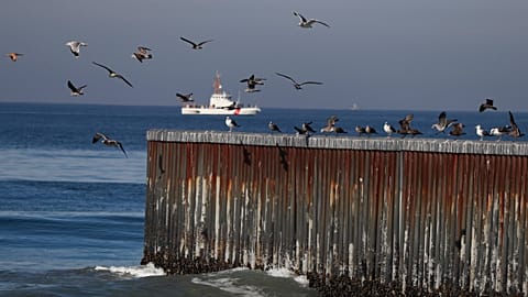
How does El Niño affect sea life?
El Niño also endangers marine life along the Pacific Coast. In normal conditions, a phenomenon known as 'upwelling' brings cool, nutrient-rich water up from the ocean depths.
When El Niño occurs, this process is suppressed or halted completely. This means fewer phytoplankton along the coast resulting in less food for certain fish.
In March, scientists found that global sea surface temperatures were at a record high. El Niño is already exacerbating the situation.
There is a 56 per cent chance that when the weather phenomenon is at peak strength, the Eastern-Pacific sea surface temperatures will be at least 1.5 degrees Celsius higher than normal, according to NOAA.
Warmer water causes bleaching in coral reefs leaving them at greater risk of starvation.
El Niño theatens reptiles on the Galapagos Islands
Warming waters in the Pacific Ocean are threatening reptiles on the Galapagos Islands.
Black marine iguanas, which are unique to the Ecuadorian archipelago, have adapted to find their main food source - algae - in the surrounding waters.
But rising temperatures means less algae and a possible risk of starvation for the creatures.
Heavy rains are also imperilling the islands' turtle population by flooding their nests, which reduces reproduction.