


A new navigation system will allow ambulances to have access to the “latest data available” to save crucial time.
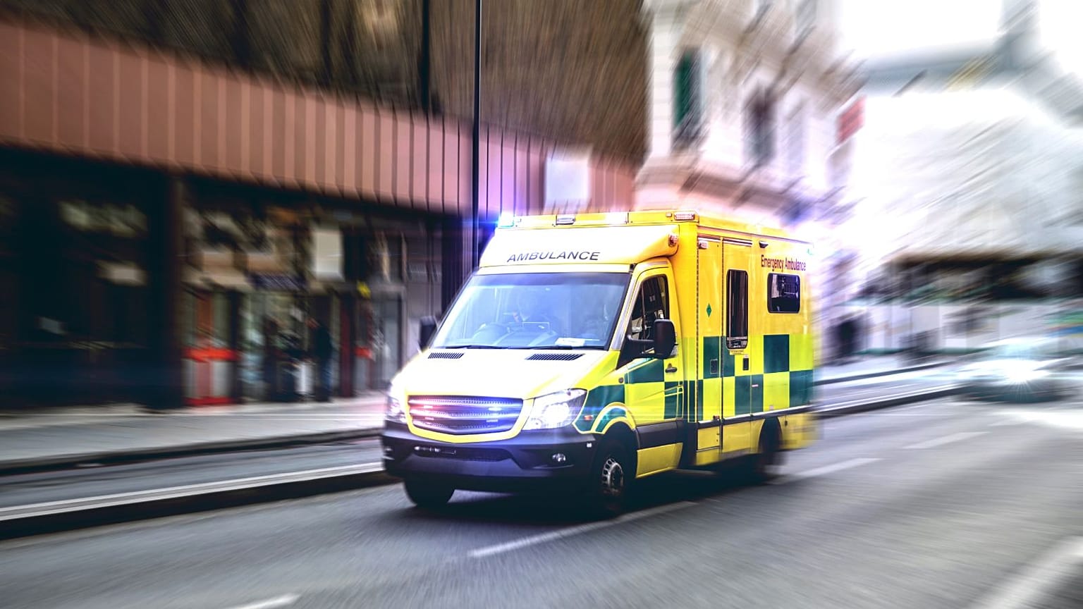
Time is often crucial when it comes to emergency medical interventions.
In order to save time, the Yorkshire Ambulance Service (YAS) is currently testing a new navigation system in its ambulances.
The programme will be rolled out across the UK once the trial is completed on the 650-vehicle fleet of the YAS.
To achieve better time responses, the Yorkshire Ambulance Service (YAS) decided to bet on a new navigation system powered by the Ordnance Survey (OS), Great Britain’s national mapping agency.
The OS data is already used by emergency services, including for dispatching ambulances.
“What's so exciting about this initiative is that it will be in-cab and it will be up-to-date information in-cab. So that really means they've got the latest data available in the actual ambulance itself, which actually should help them shave some vital seconds off their journey,” John Kimmance, OS managing director of national mapping services, told Euronews Next.
He added that the first feedback received was really positive.
Ambulances’ time response, a hot topic in the UK
Calls received by 999 - the UK emergency platform - are dispatched into four categories depending on the gravity of the condition.
Ambulances should answer Category 1 calls - qualifying life-threatening interventions - in 7 minutes and Category 2 calls - for serious conditions requiring rapid assessment - in 18 minutes on average according to the Handbook to the NHS Constitution for England.
However, the ambulance response time has been consistently over these targets since early 2021, according to Nuffield Trust, an independent health think tank. For example, the average for Category 1 calls has been over 9 minutes.
Earlier this year, the NHS launched the Urgent and Emergency Care recovery plan to improve the ambulances’ response times.
How does it work?
Every week OS makes tens of thousands of changes to the National Geographic Database capturing new buildings, roads, routing restrictions and addresses.
“All of that kind of data Ordnance Survey captures on a day-to-day basis through a team of several hundred surveyors dotted around the UK. Plus we fly aerial photography and we use drones to capture data as well,” Kimmance said.
The new system is “very similar to a domestic in-car navigation system” and allows the different ambulance services to all have the same information and reduce delays.
“Having access to accurate and up-to-date mapping is essential to all the emergency services, and with ambulances it can make all the difference to our patient care,” said Simon Marsh, chief information officer at Yorkshire Ambulance Service NHS Trust.
An additional perk is that the updates won’t take as much time.
“The ambulances actually keep more time on out there in the public rather than having to be parked up, having data loaded,” Kimmance said.