


It was only launched last month, but a new European satellite is already sending back spectacular images of the Earth's atmosphere.
ESA's Sentinel-5P spacecraft was built to map the pollution levels around the world.
The first images released showed high concentrations of nitrogen dioxide over Europe. The yellow-brown gas is produced by petrol and diesel vehicles.
The satellite also captured ash and smoke spewing from the Mount Agung volcano in Bali.
ESA says the new satellite will bring the world's air pollution sharply into focus.
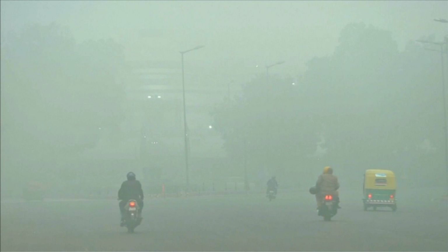
The new mission to follow air quality comes off the back of last month's landmark report by the Lancet.
That showed global pollution, particularly in poorer countries such as India, kills at least nine million people every year.