


A neural network has been trained to identify trees based on their size and shape.
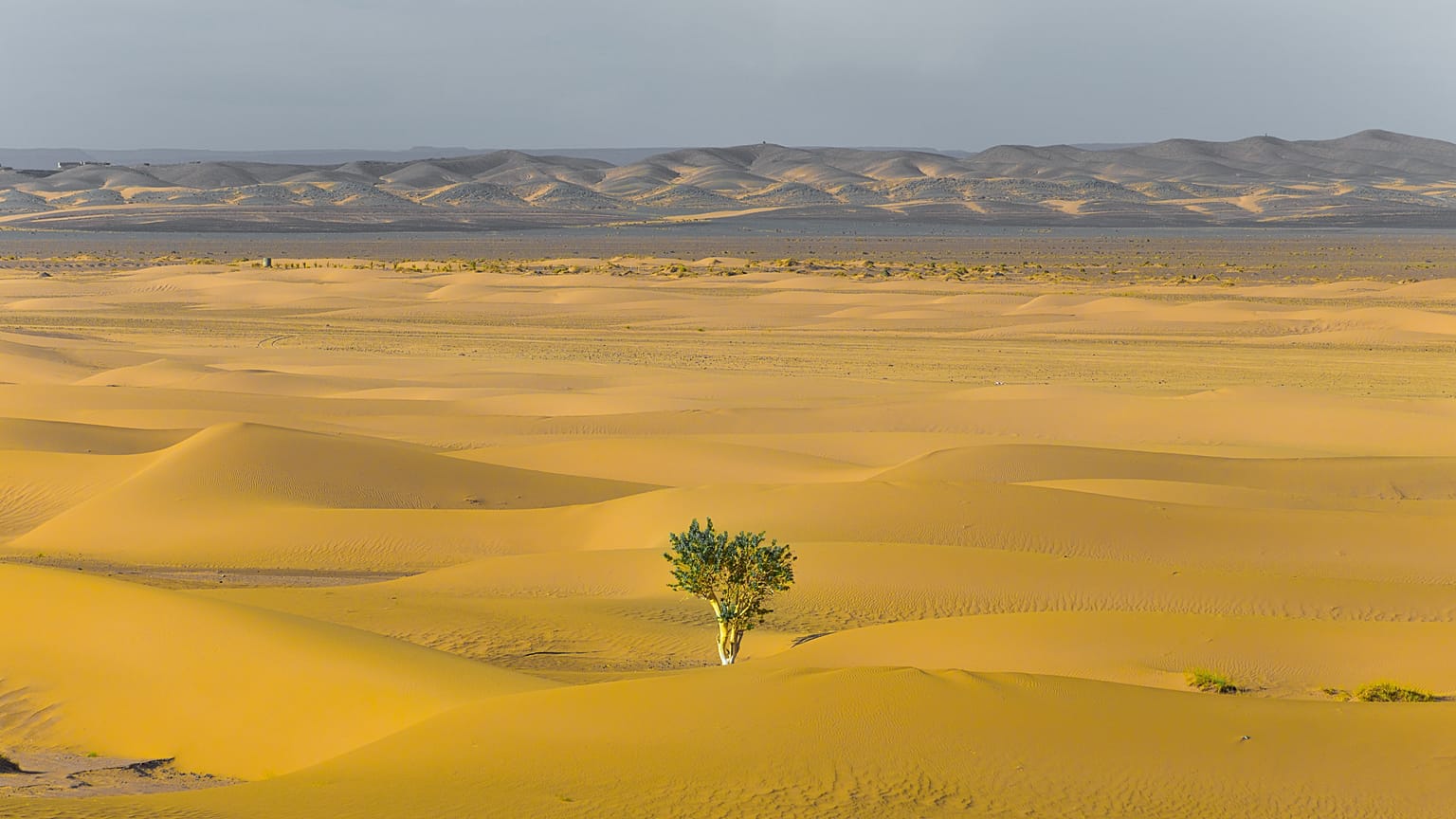
Scientists have mapped 1.8 billion individual tree canopies across millions of kilometres of the Sahel and Sahara regions of West Africa. It is the first time ever that trees have been mapped in detail over such a large area.
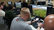
So how was it possible? Researchers analysed a huge database of satellite images using artificial intelligence. They employed neural networks which are able to recognise objects, like trees, based on their shapes and colours.
To train it, the AI system was shown satellite images where trees had been manually traced. This involved lead author Martin Brandt going through the arduous process of identifying and labelling nearly 90,000 trees himself, beforehand.
From these images, the computer learnt what a tree looked like and could pick out individual canopies from the thousands of images in the database. Brandt says it would have taken millions of people years to identify the trees without the AI system.
In a review of the research, commissioned by Nature, scientists at New Mexico State University wrote that “it will soon be possible, with certain limitations, to map the location and size of every tree worldwide”
Important information for conservation
In 2015, the number of trees on the planet was estimated at three trillion. This was scaled up from data collected in forests around the world. As there wasn’t much data from drier areas like the Sahel and Sahara deserts, the number appears to have underestimated tree cover in these regions
The team was “very surprised” to find so many trees growing in dry areas, especially because understanding how much vegetation can be found in deserts is important for ecology.
“For preservation, restoration, climate change and so on, data like this are very important to establish a baseline,” says Jesse Meyer, a programmer at NASA who worked on the research in a press release.
“In a year or two or ten, the study could be repeated... to see if efforts to revitalise and reduce deforestation are effective or not.”
Alongside the opportunity to measure deforestation, the satellites would also allow scientists to determine how much carbon is stored in deserts, a figure that is not currently included when modelling climate change.
Brandt says the survey is promising, but it is too early to determine whether the new information will have a significant impact on our understanding of the climate crisis.