


The U.S. has sent a satellite into space that will use laser technology to map the Earth's ice coverage and assess the impact of global warming
The U.S. has launched a satellite into orbit that will use laser technology to give us a more accurate reading of the planet's ice cover.
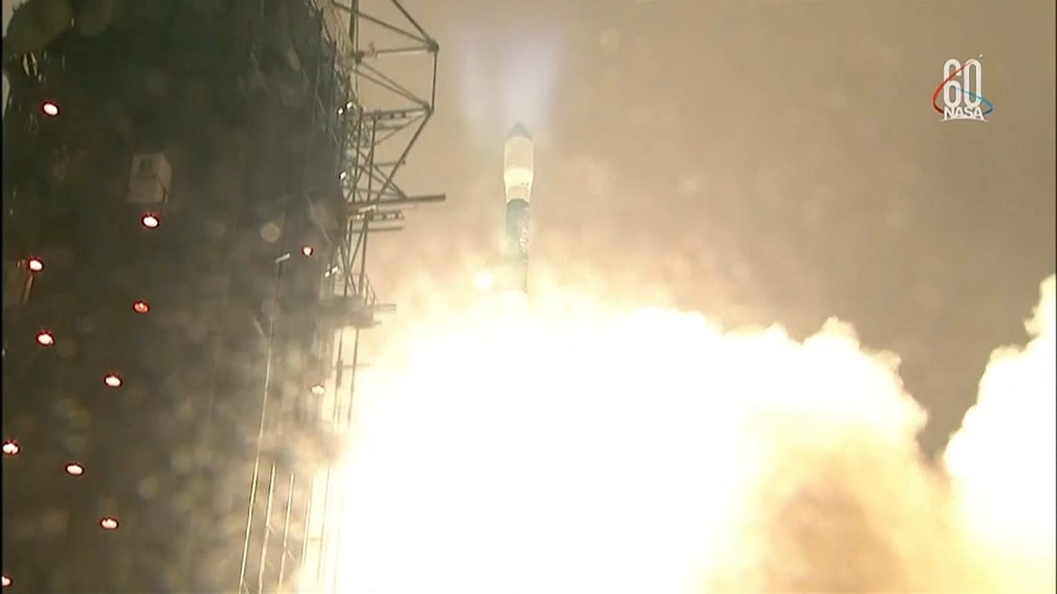
ICEsat-2, as it's called, was ferried up to space by a Delta II rocket out of Vandenberg Air Force base in California.
The satellite can track the state of the Earth's ice in detail from around 500km about the surface.
The project is a follow-up to a previous mission but with enhanced technology that the scientists say will make it more reliable and give them a sharper view of the state of ice throughout the world.
Antartica, the Arctic and Greenland have all showed diminished ice volume in recent decades, pushing up sea levels around the world.
The information sent back should provide more precise information about how frozen surfaces are being affected by global warming.