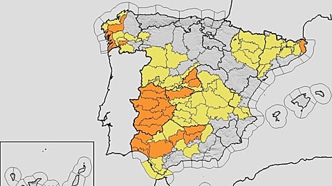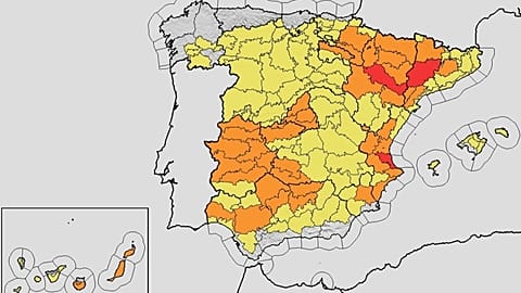
















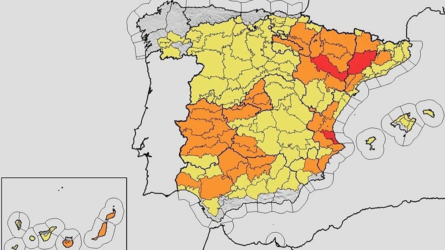













Spain’s national meteorological agency has issued orange alerts across much of the country for the summer’s second heatwave, with temperatures of 42–44 ºC expected from Sunday to Tuesday in several regions.
Spain’s State Meteorological Agency (AEMET) issued a warning last Friday over the arrival of the second heatwave of the summer of 2026, a spell that begins this Sunday and will bring temperatures of up to 42°C in the south-western river valleys of mainland Spain, lasting at least until Tuesday.
 ADVERTISEMENT
ADVERTISEMENT
ADVERTISEMENT
According to the agency’s own data, on Monday temperatures are expected to reach 38–40°C in the Miño valley and 37–39°C in inland A Coruña, while in the south-western quadrant maximums of 39–41°C will be widespread, rising to 42°C in river valleys, with 37–40°C on the southern plateau, in the Ebro valley and in the north-eastern depressions.
Contrary to what is often assumed, the peak of the episode will not come on Tuesday. According to AEMET, Monday 6 will be the harshest day of the period, with further temperature rises on the eastern Cantabrian coast that will spread to a lesser extent to the Ebro valley, the northern plateau and the eastern third of the peninsula, with temperatures possibly reaching 44°C on Tuesday which would complicate the Bisbal d'Empordà wildfire, while in western Galicia the arrival of maritime air will start to be felt, bringing temperatures down along the coast.
On Wednesday, with greater uncertainty because of the possible influence of a high-altitude cut-off low pressure system known as a 'dana', the most likely scenario points to values remaining above 39–40°C in the south-west, on the southern plateau, in the Ebro valley and in parts of the south-eastern interior, before temperatures begin to fall from Thursday onwards.
Where the risk is concentrated: from the south of the mainland to the Canary Islands
The most intense focus remains in Andalusia. AEMET issued an orange heatwave warning on Saturday for Seville, Huelva and Jaén, and a yellow warning for Cádiz and Granada, with temperatures that could reach 40 degrees in several areas, while Almería was for the moment outside these warnings. On the Cádiz coast there is also a yellow warning for gusts of easterly Levante wind, requiring extreme caution in the Strait.
The agency’s special notice outlines a broad map: the south-western quadrant of the mainland, the Guadiana and Guadalquivir valleys, the Ebro valley and the north-eastern depressions concentrate the highest risk, although the phenomenon also affects inland Galicia, the southern plateau, the eastern Cantabrian coast and the Balearic Islands, where maximums of between 36°C and 38°C are expected in Mallorca.
The Canary Islands, which are often spared the worst episodes affecting the mainland, are not escaping this time. The Directorate-General for Emergencies of the Canary Islands regional government has declared an alert for a risk of forest fires on Gran Canaria and Tenerife from this Sunday, in view of a spell of high temperatures that will last several days, and by Tuesday the whole eastern province will move to orange alert, while the rest of the islands will remain on yellow.
At national level there is still no final count of provinces by warning level for the three days, because AEMET’s map is updated dynamically as the models evolve; what has been confirmed so far is orange alert in the south-west of the mainland, in the Ebro valley and in eastern Canary Islands, and yellow alert in a broader belt surrounding those areas.
Health, fires and the backdrop of a summer already marked by heat
This is not the first heatwave of the summer, and the impact of the earlier ones weighs on the debate about the current risk. Barely a few days after the first heatwave, which, according to the MoMo mortality monitoring system of the Ministry of Health, is estimated to have caused nearly 900 deaths in June, began to subside, AEMET was already warning that this second episode was on its way.
For it to be formally classified as a heatwave, the phenomenon has to exceed the 95th percentile of temperatures in an extreme way, last at least three days and affect more than 10% of the territory – three conditions that current projections consider very likely to be met.
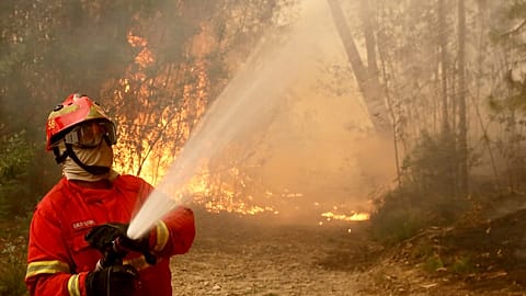
The risk is not limited to daylight hours. Minimum temperatures will hover around 20–26°C in the coming days, with peaks of 27–28°C, which means tropical nights for much of the country and makes it difficult to get rest in the worst-affected areas, a factor that public-health specialists consider just as important as the peak daytime maximums. Added to this is the risk of fires: in Andalusia the INFOCA wildfire plan remains in pre-alert phase, and in the Canary Islands the declaration of forest-fire risk already accompanies the heat warning.
The usual recommendations in the face of these very high temperatures:
- Avoid exposure to the sun during the middle of the day.
- Maintain frequent hydration.
- Do not do intense physical exercise outdoors.
- Pay particular attention to older people, children and those with chronic illnesses, who are especially vulnerable in a spell that is expected to be long and with nights offering little rest. It is also advisable to consult the updated warnings on aemet.es (source in Spanish), as the forecasts for Tuesday and Wednesday still involve a degree of uncertainty.