


In northern Europe, frequent cloud cover limits the use of traditional satellite images for agriculture. Polish company Wasat uses radar-based satellite data to overcome this challenge, helping farmers use less fertiliser and improve profitability.
Farmers increasingly rely on satellite images to optimise their work. Satellite data can help track crop development and optimise the use of fertilisers.
But in northern Europe, frequent cloud cover often limits the use of traditional optical satellite images.
To address this challenge, a Polish company, Wasat, has turned to Synthetic Aperture Radar technology, known as SAR, which allows satellites to “see” through the clouds.
How radar satellites work
SAR satellites use their own microwave signals. These signals are sent from space to the Earth’s surface and reflected back to the satellites’ sensors, creating radar images of the land below.
The company uses satellite imagery provided by the European Space Agency and the European Commission under the Copernicus programme as well as data from the Sentinel-1 satellite.
From radar data to farm decisions
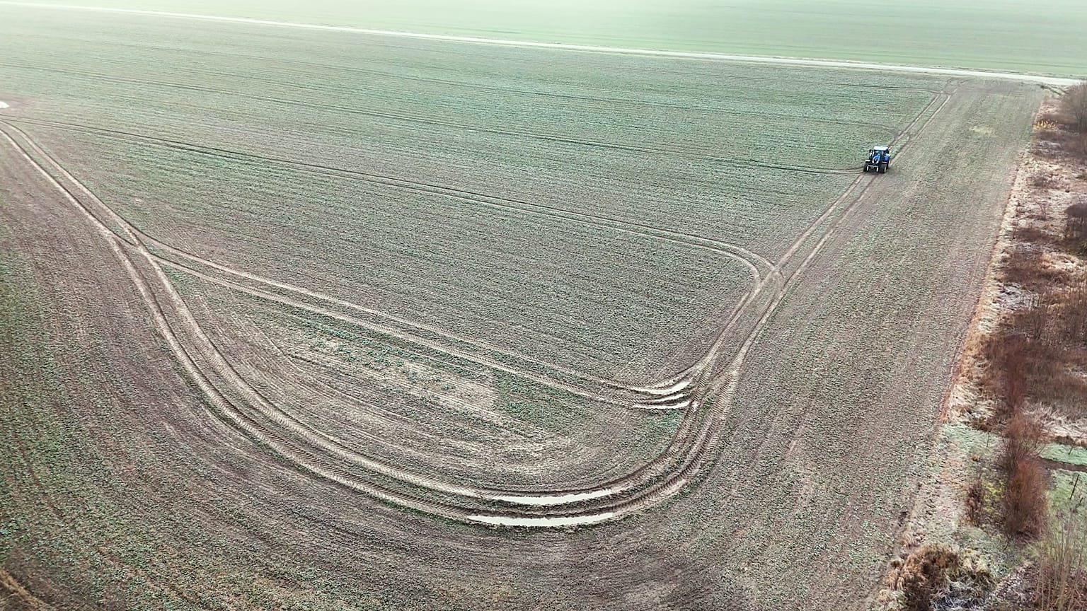
Building on this technology and their agronomic expertise, Wasat developed Fertisat, a digital platform that provides farmers with fertilisation maps and recommendations.
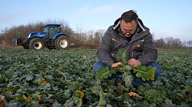
Karol Piekutowski, farm manager at Farm Frites Poland, uses Fertisat to guide fertilisation decisions for winter rapeseed production in Bobrowniki, a town one hour away from Gdańsk. For him, its value lies in adjusting the fertiliser dose to the actual needs of the crop.
“We aim for better fertiliser distribution within the field to improve yields. We also avoid over-fertilisation in the places where this fertiliser cannot be used effectively. And in that way, we can protect the environment from the leaching of nitrogen to the deep layers of the soil.”
By tailoring fertiliser application to different zones within a field, farmers can reduce unnecessary use while maintaining productivity.
Economic benefits for farmers
Beyond environmental considerations, the use of radar-based fertilisation recommendations brings economic benefits.
“The implementation of the technology based on radar data, allows for a 10-15% reduction in fertiliser use in a single season, which translates into significant savings,” says Michał Jędrzejewski, product manager at Procam, a leading agricultural consultancy and distributor in Poland.
Procam has collaborated with Wasat to test the recommendations under real field conditions before making the service available to its clients.
EU support and wider ambitions
The development of the SAR technology within Fertisat required a total investment of €778,800. Almost 80%of this amount was funded by the EU Cohesion Policy. The company has received a Regiostars Award, which recognises excellence in projects funded by the European Union.
At the moment, the company has 1,000 customers - mostly large and medium-sized farms in northern Poland. According to Bartosz Buszke, managing director at Wasat, their service can contribute to broader goals for European agriculture.
As climate variability and input costs continue to challenge farmers across Europe, radar-based satellite services like Fertisat may play an increasing role in supporting more resilient, efficient and sustainable agricultural practices, even when the skies remain cloudy.