


The new map will allow better preparation for and prevention of wildfires.
Greece is transforming its approach to forest fires with a National Forest Fire Risk Assessment Map - the first of its kind in decades.
The map provides a general overview of the fire risk for different areas, helping guide long-term planning and prevention efforts. It also addresses systemic vulnerabilities worsened by the climate crisis.
It has been hailed by Civil Protection authorities as a structural breakthrough in improving the country's assessment and prevention of wildfires.
Distinct from the Daily Fire Risk Forecast Map, which is issued during Greece's fire season, the new map is being hailed as one of the most significant reforms in the history of Civil Protection.
Why does Greece need to reform its approach to forest fires?
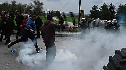
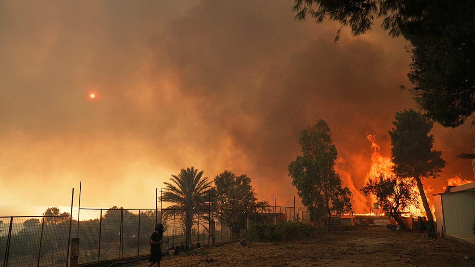
In recent years, Greece has been ravaged by increasingly intense wildfires. These have been driven by extreme heatwaves, strong winds, and issues with the country's forest management and fire prevention policies.
Approved by the Minister of Climate Crisis and Civil Protection, Yannis Kefalogiannis, the National Forest Fire Risk Assessment Map seeks to address some of these problems.
How is Greece assessing fire risks across the country?
The map was created using data from the past 20 years on regional climatic conditions, and types and structures of vegetation. It also incorporates the frequency of high-risk days from the Daily Fire Risk Forecast Map.
As a result, municipalities are now ranked into three risk categories: low, medium and high. Unlike the previous map, which classified areas by county, the new map uses municipalities as the unit of assessment.
Civil Protection authorities emphasise that this allows for more precise planning, targeted fire prevention measures, and, most importantly, a fair and efficient allocation of resources.