













A ‘Godzilla’ El Niño is wreaking havoc across the world - but when will we see the weather phenomenon peak – and when will it come to an end?
This impacts of this year's 'super' El Niño is expected to extend into 2027, as countries across the world continue to grapple with bouts of extreme weather.
 ADVERTISEMENT
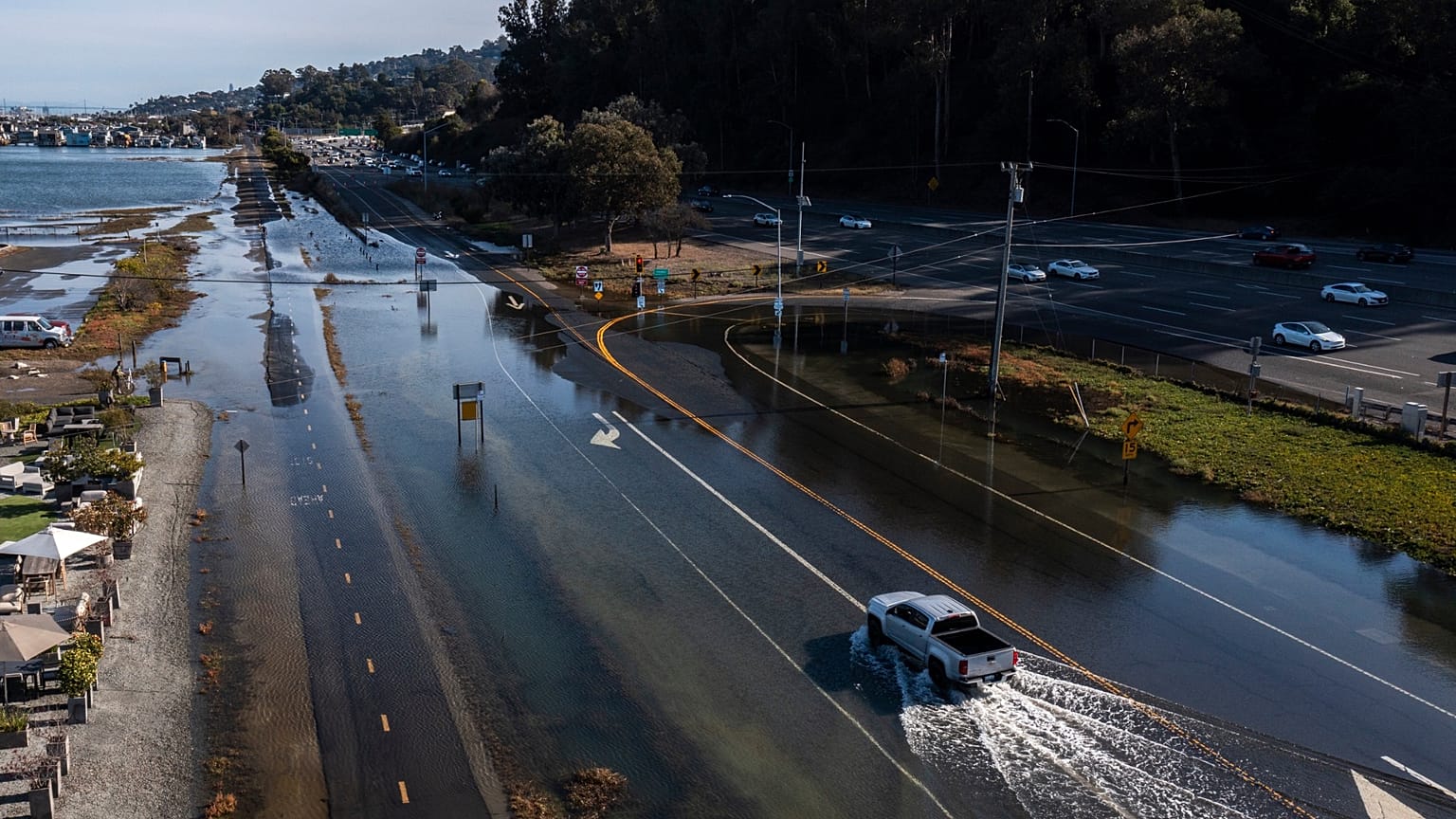
Fiji and Bolivia have already declared a national state of disaster as drought linked to the weather phenomenon triggers widespread water shortages and devastates crops – while storms and flash floods have ravaged parts of the US.
El Niño can also weaken the polar vortex, which has already flipped and triggered a Sudden Stratospheric Warming (SSW) event – sparking fears of a cold winter ahead for Europe.
How long does an El Niño last?
Typical El Niño events usually last around nine to 12 months but can go on for up to 18 months. They tend to occur every two to seven years.
Most forecasts say that this year's El Niño is forecast to peak in December, but its impacts will continue into 2027.
“El Niño is firmly established and strengthening rapidly,” warns WMO Secretary-General Celeste Saulo. “WMO forecasts indicate a near-100 per cent likelihood that it will persist through February 2027, potentially being one of the strongest since at least 1950.”

The almost-certain figure isn’t from one climate model. The WMO has coordinated ocean buoy, satellite and radiosonde data from 13 national and international centres to make the prediction.
El Niño isn’t expected to end until spring 2027, but its impacts will likely stretch further. It’s why experts warn that next year could become the hottest on record.
Is El Niño getting stronger – and what are the impacts?
On 12 October, Copernicus Climate Change Service announced that September's average sea-surface temperature reached 21.05°C – the highest on record for the month – amid strengthening El Niño conditions.
According to the WMO, sea-surface temperatures in the central and eastern tropical Pacific are also forecast to reach record levels during October, November and December.
Sea-surface temperature anomalies across the central-eastern equatorial Pacific, the region at the heart of El Niño, are measured by the widely used Niño 3.4 index. This increased markedly from an average +1.6 °C above normal in June 2026 to +2.5 °C above normal in August.
For October-November-December, the seasonal average Niño 3.4 sea surface temperature anomaly is forecast to reach approximately +3.7°C. This would be the highest since observations began and is stronger than the previous record of +2.6°C in November 2015-January 2016.
El Niño clashes with climate change
Most El Niño events increase global average temperatures by around 0.2°C. While this is enough to trigger extreme weather conditions across the Global South, it is a fraction of the additional warming caused by climate change.
Human-caused global warming from the burning of fossil fuels has pushed global average surface temperatures 1.3°C to 1.4°C above pre-industrial levels. It is this that paved the way for Europe’s scorching summer, long-standing drought and deadly wildfires.
Nowadays, El Niño’s impacts are compounded by an already warming world – one that has a much stronger influence on the extreme weather we’re witnessing. 2025, for example, was the third warmest year on record – hotter than the El Niño year of 2016 – despite the naturally-forming cool drag of El Niño’s counterpart, La Niña.
Recent research suggests that climate change is turbocharging El Niño events too, by making them 36 per cent stronger than before the industrial era.
“El Niño doesn't add new heat to the planet. It releases heat the ocean has already been storing beneath the surface – which is why a strong event so often becomes one of the hottest years measured (as with 2024),” Saulo told the Global Heat Forum in Bangkok in October.
“The ocean it’s drawing from is the warmest we’ve ever measured it. There is simply more heat available to release.”
*A version of this article was first published on 10 October and has been updated to include news that the polar vortex has flipped.