


AEMET warns that a mass of very hot air will sweep over Spain from this weekend and could trigger the summer’s second heatwave, with orange alerts up to 42°C in Extremadura and Andalusia.
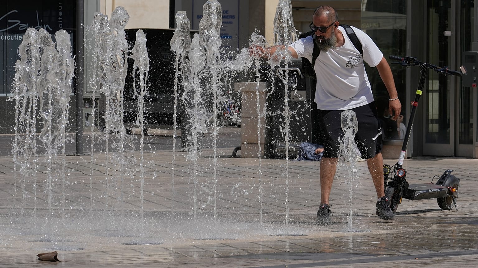
The summer of 2026 has offered no respite. Barely a few days after the first heatwave, which is estimated to have caused nearly 900 deaths in June, according to the MoMo mortality monitoring system run by the Ministry of Health, began to ease, Spain's State Meteorological Agency is already on alert for a new episode.
AEMET itself has indicated on social media that in the coming days very warm air masses will sweep over Spain and that a new heatwave from the weekend onwards cannot be ruled out. The forecast points to high daytime and night-time temperatures for several days in a row, a pattern that has already become the norm this summer.
The trigger is a very warm air mass in low levels to the west of the peninsula, which is moving towards Portugal and Spain and which, according to the latest forecast charts, could give rise to what would already be known as the second heatwave of the year in Spain.
Extremadura and Andalusia on the front line
The episode is already being felt on the ground. The western areas of Extremadura and Andalusia, especially the Guadalquivir valley, are under orange alerts with temperatures in the region of 40 to 42 ºC, while yellow alerts have been activated along the banks of the Ebro, in the Lleida Pyrenees and in the south of Gran Canaria.
The underlying cause is the build-up of extreme heat in low levels to the west of the peninsula, where a new heat dome is forming over Atlantic waters that are already showing high surface temperatures. That dome will drive the episode over the coming days.
Temperatures will continue to rise through the weekend of 3 to 5 July, and will keep climbing during the first days of the following week. The Canary Islands will not be spared: maximum temperatures of around 36 ºC are expected in the western islands and 38 ºC in the eastern ones, with minimums above 20–23 ºC and up to 28–30 ºC in mid-altitude areas, although the episode there is expected to be less extreme than on the mainland and in the Balearic Islands.
The north will not escape either. The rise in temperatures will be felt from Saturday and, above all, on Sunday, in northern areas, especially in Galicia, a region where this kind of spike tends to be more striking because it is so unusual.
Will it be confirmed as an official heatwave?
For the episode to be formally classified as a heatwave, three conditions have to be met at the same time:
- Temperatures must exceed the 95th percentile by a wide margin.
- The episode must last at least three days.
- It must affect at least 10% of Spanish territory.
Based on the calculations available so far, it is highly likely that these criteria will end up being met, with an estimated duration of between three and five days in some areas.
Nights are also a concern. Over the coming days, night-time lows will range between 20 ºC and 26 ºC, with the possibility of briefly reaching 27–28 ºC, meaning tropical nights for much of the country and extra difficulties getting to sleep in the hardest-hit areas.
This is nothing new. Spain ended June with the second-warmest June since records began, with an average temperature 3.2 ºC above normal, second only to June 2025.
AEMET experts point out that, of the 12 June heatwaves recorded since 1975, half have occurred since 2015, a figure that illustrates just how much these episodes have accelerated in recent years.