


Venezuela was hit by a pair of earthquakes last Thursday, leaving the La Guaira area badly battered. Here is a set of before-and-after images to show the scale of the disaster.
On the afternoon of 24 June, Venezuela was struck by a major natural disaster: two earthquakes that were very close in location, time (just 39 seconds apart) and magnitude, both measuring more than 7 on the Richter scale. This phenomenon is known as a seismic doublet and it greatly multiplies the damage caused.
At the time of publication, the death toll is approaching one thousand and more than 50,000 people are missing. However, the images we show you below speak for themselves.
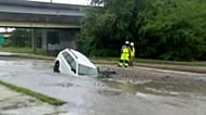
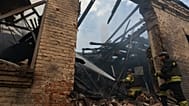
The devastation caused by the earthquakes has brought down buildings, including high-rise apartment blocks, houses, public halls and countless other structures, so initial estimates pointed to tens of thousands of deaths.
International aid has begun to arrive in Venezuela, but given the number of collapsed buildings, the situation is critical and the search for survivors has become a race against time. A wave of looting has already begun in the area.
The desperation of the Venezuelan people is such that even the social media channels of outlets like 'Euronews' are being used as platforms to tell rescue teams where survivors can be found.
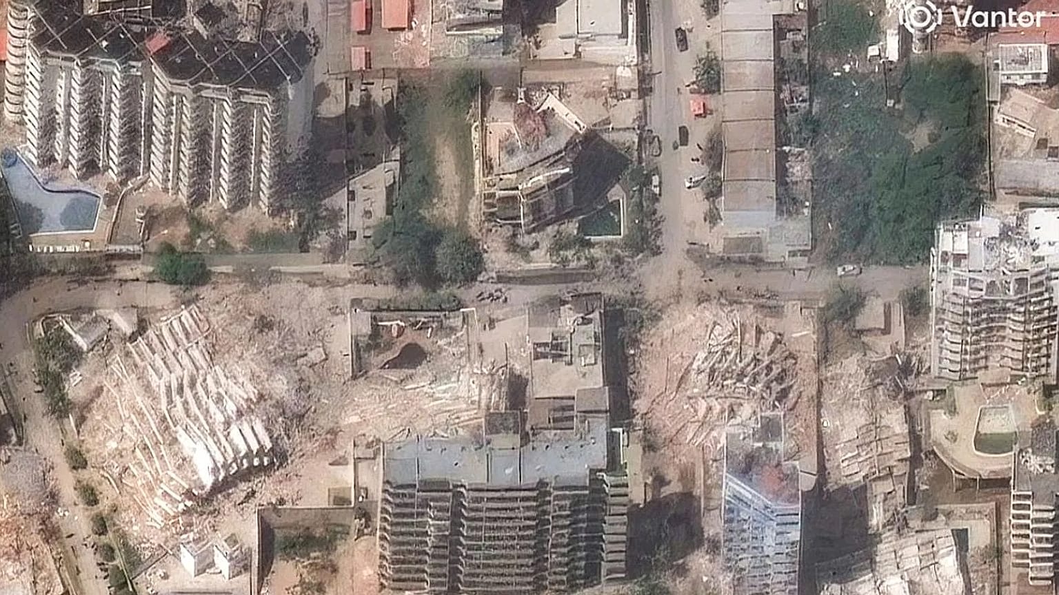
Satellite images leave no doubt about the tragedy unfolding in Venezuela and there are photographs of the destruction showing piles of brick, stone and concrete where streets lined with buildings once stood.
One of the worst-hit cities was La Guaira, but others such as Caraballeda have also suffered building collapses and countless disappearances and deaths.
Euronews will continue to keep you informed about the situation in Venezuela after these earthquakes: the numbers of dead, missing and survivors, and how the country evolves in the wake of a natural disaster of this magnitude.