


A weak polar vortex could make for a harsh winter in Germany. Experts are currently still divided, but warn it could be particularly frosty after Christmas.
According to meteorologists, the so-called polar vortex will be weaker than usual this winter. For Germany, this will most likely mean a cold winter with Arctic cold spells, according to experts.
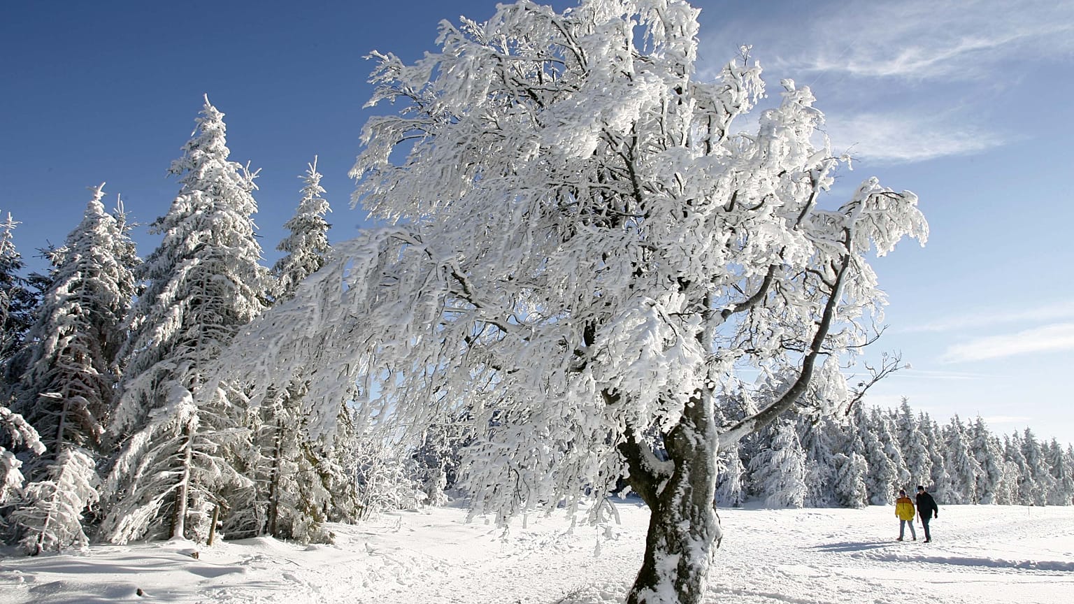
The last time a meridional weather pattern led to a winter of the century in Germany was in 1978/79. Back then, people experienced heavy snowfall, snowstorms and unusually low temperatures.
White Christmas or baby Jesus in the mud?
The current weather models paint a generally mild picture for the days around Christmas albeit with isolated cold outliers. This is also confirmed by the 42-day trend from wetter.de.
The European Weather Centre's long-term model also indicates a cooling, but only after the holidays. Only the American National Oceanic and Atmospheric Administration (NOAA) is expecting significantly higher temperatures on average for the month. However, as this average is strongly influenced by the next two weeks, this does not contradict a possible subsequent cooling.
In short: the situation remains open.
January: freezing cold or early spring?
In January, experts mainly point to changeable, rather mild tendencies, little winter, and lots of grey.
This puts the NOAA model on the same track, although its calculations have recently fluctuated considerably. The European European Forest Fire Information System (EFFIS) models are interesting: they show a January that could be slightly cooler and drier than the long-term averages.
Such weather conditions would indicate a stable high pressure over Central Europe. And high pressure in January can be deceptive: during the day, everything looks friendly, but fog and cooling quickly lead to permafrost and frost.
Then there is the polar vortex factor. Especially in the height of winter, it tends to cause disturbances that can direct cold Arctic air towards Europe. Although no current model shows an imminent collapse of the polar vortex, the high pressure tendencies are basically in line with such a development.
La Niña and El Niño
The National Oceanic and Atmospheric Administration's Climate Prediction Centre has also confirmed that La Niña conditions are present this year and are expected to persist until December 2025 - February 2026. In general, La Niña leads to colder than normal temperatures in Western Europe.
La Niña is part of a natural climate cycle but, like El Niño, can cause extreme weather worldwide. It occurs when sea surface temperatures in the central and eastern Pacific Ocean fall below average. It is the exact opposite of the warm El Niño phase.
Both La Niña and El Niño can have far-reaching effects on global weather patterns, including in Europe, but the further away a location is from the Pacific Ocean, the stronger these effects can be.
As a rule, La Niña also brings wetter and colder conditions to the Alps, which can lead to more frequent and heavier snowfall. So for skiers, the prospect of a winter of the century could be welcome news.