






























The Samarkand-2028 Earth observation satellite has entered orbit carrying an AI module developed by Uzbek engineers, processing data in orbit before transmission to improve efficiency in fields including agriculture and environmental monitoring.
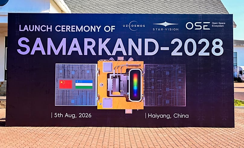
A Chinese hyperspectral Earth observation satellite carrying an artificial intelligence module developed by Uzbek engineers has entered orbit as part of a joint project between China's STAR.VISION and Uzbekistan's national space agency, Uzcosmos.
 ADVERTISEMENT
ADVERTISEMENT
ADVERTISEMENT
The mission marks the first deployment of an AI module developed by Uzbek engineers aboard one of STAR.VISION's international satellite projects.
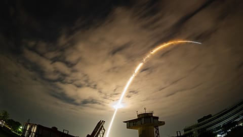
The satellite, named Samarkand-2028, lifted off on 5 August from a sea-based launch platform near Haiyang in China's Shandong Province.

Explaining the satellite's name, Uzbekistan's Minister of Digital Technologies, Sherzod Shermatov, wrote on social media: "The name Samarkand-2028 is no coincidence. Samarkand earned the right to host the 2028 International Astronautical Congress, marking the first time the world's largest space congress will be held in Central Asia."
The satellite collects hyperspectral imagery, recording data across multiple wavelengths of light.
Compared with conventional satellite imagery, this provides a more detailed picture of the Earth's surface, making it useful for applications requiring precise environmental analysis.
AI processes imagery in orbit
The AI module processes part of the satellite's imagery while it is still in orbit, analysing the data before transmission rather than sending all of the raw information to Earth.
According to Uzcosmos, this reduces the volume of data transmitted to ground stations while improving the speed and efficiency of image analysis.
"This enables faster results, reduces the volume of data that needs to be transmitted, and makes analysis on the ground more efficient," Shermatov wrote.
Rather than functioning solely as an imaging platform, the satellite can carry out part of the analytical work in space, allowing ground teams to receive more readily usable information.
Onboard AI is becoming an increasingly important capability in Earth observation missions as satellite operators seek to manage growing volumes of data more efficiently and shorten the time between image capture and analysis.
Processing data before it reaches Earth
Earth observation satellites generate vast amounts of data, placing significant demands on communications systems and ground infrastructure.
Processing part of that data onboard allows only the most relevant information to be transmitted, reducing bandwidth requirements and speeding up access to imagery.
Hyperspectral imaging is increasingly used in agriculture, environmental monitoring and natural resource management because it can detect changes in vegetation, soil and water that are difficult to identify using conventional optical imagery.
In agriculture, it can help identify crop stress before visible signs appear, while environmental agencies can use it to monitor land degradation, water quality and ecosystem changes.
The technology also has applications in natural resource assessment, disaster response and urban planning.
Building a broader space partnership
The launch follows a strategic cooperation agreement signed by Uzcosmos and STAR.VISION in 2025 to develop Earth observation technologies and expand collaboration in satellite development.
Uzbekistan is also preparing to launch a 6U CubeSat in 2028 while developing the framework for a 10 to 14-day astronaut mission in cooperation with international partners.