













Panos Giannopoulos of Greece's National Meteorological Service has spent years reading satellite images. He tells 'Euronews' how the new Meteosat, launched from French Guiana, will change weather forecasting.
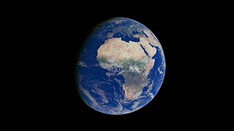
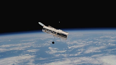
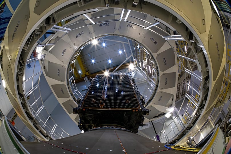
On 28 August, the MTG-I2 (Meteosat Third Generation Imager-2) satellite lifted off from Europe's Spaceport in Kourou aboard an Ariane 6 rocket, on the launcher's ninth mission and its first flight to a geostationary transfer orbit. With this launch, ESA and Eumetsat complete the first operational trio in the Meteosat Third Generation constellation, stationed 36,000 kilometres above the equator to keep constant watch on Europe's weather, the Mediterranean and North Africa.
 ADVERTISEMENT
ADVERTISEMENT
ADVERTISEMENT
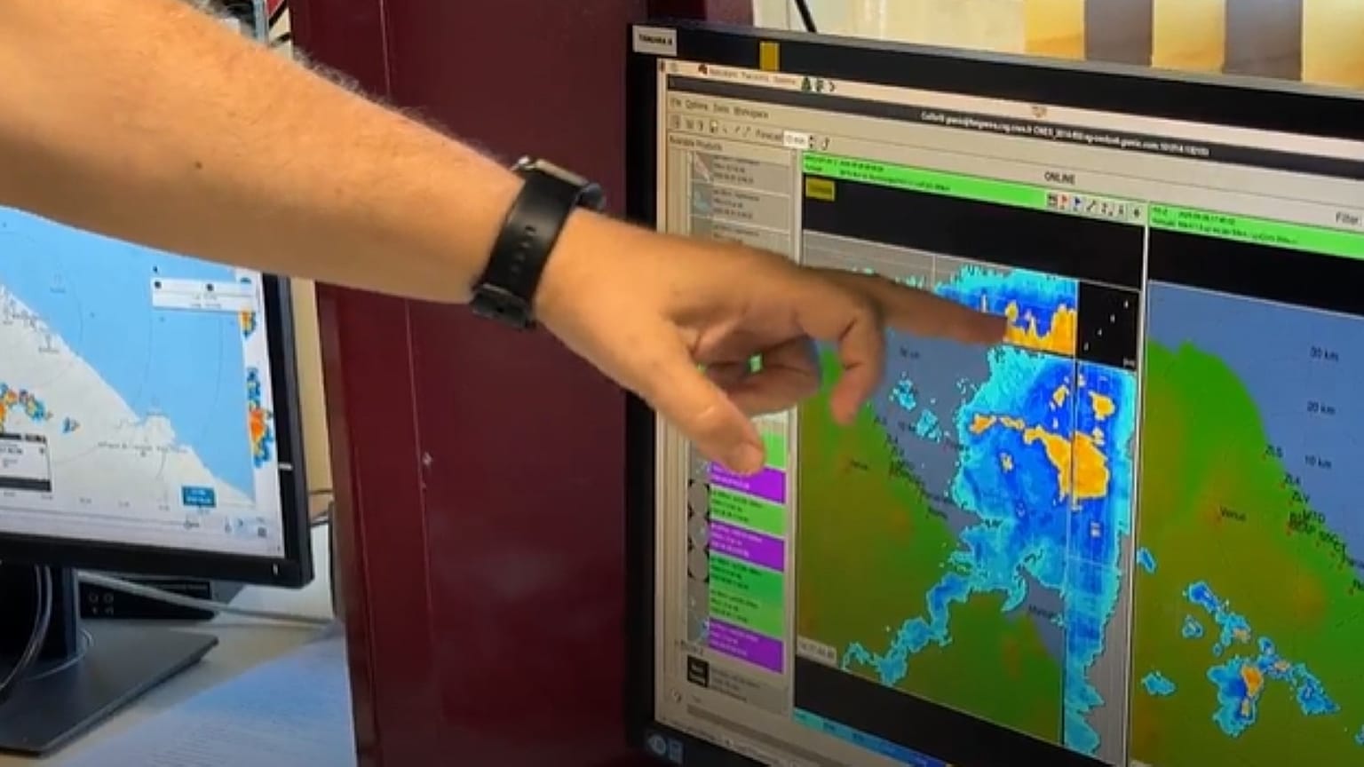
To understand what this satellite really changes, we spoke to someone who has spent decades interpreting satellite images in his day-to-day work: Panos Giannopoulos, a meteorologist at the Hellenic National Meteorological Service (HNMS) and weather presenter at SKAI Media Group.
"When I started working 25 years ago, we only had one image every 30 minutes, with three channels; it was the first generation of Meteosat, launched two decades ago," he recalls. The second generation, he explains, marked a clear difference: 12 channels and images every ten minutes (every five over Europe), which also made it possible to combine channels to detect fog, dust and volcanic ash and track the evolution of storms, from their birth until they dissipate.
With the third generation, to which MTG-I2 belongs, the leap is even greater. The new satellite will scan the Earth's upper quadrant, centred on Europe, every two and a half minutes, something that, according to Giannopoulos, "has never been achieved before anywhere in the world, not even in the United States". It is a change which, he admits, could overwhelm human analytical capacity: "I don't know whether meteorologists can exploit all that information on their own, but with the help of the artificial intelligence, these images every 2.5 minutes can greatly improve very short-term forecasting."
This new generation of satellites also includes a lightning detector, something Meteosat has never had before, capable of taking 1,000 samples per second in a very narrow band of the spectrum. And it is not coming alone: MTG-S, the family's second satellite, launched in 2025, is already operating in orbit and measures humidity and temperature profiles in the atmosphere. "Until now we have relied mainly on weather balloons launched every 12 hours from a limited number of sites. That satellite has been providing data for less than a year, and they are already being incorporated into global forecasting models," the meteorologist notes.
MTG-I2 will still need around six months to complete its commissioning before it can be integrated and calibrated alongside its two sister satellites. From then on, probably around April 2027, the three will operate as a single system. For Giannopoulos, the verdict is clear: "This third generation of Meteosat will have an impact both on very short-term forecasting, in other words the next two or three hours, and on the usual one-to-ten-day range".