


What weather will El Niño bring and how long will it last?
A ‘significant’ El Niño is about to strike, weather experts have warned.
According to American meteorologists, the chance of El Niño developing this summer is now over 90 per cent.
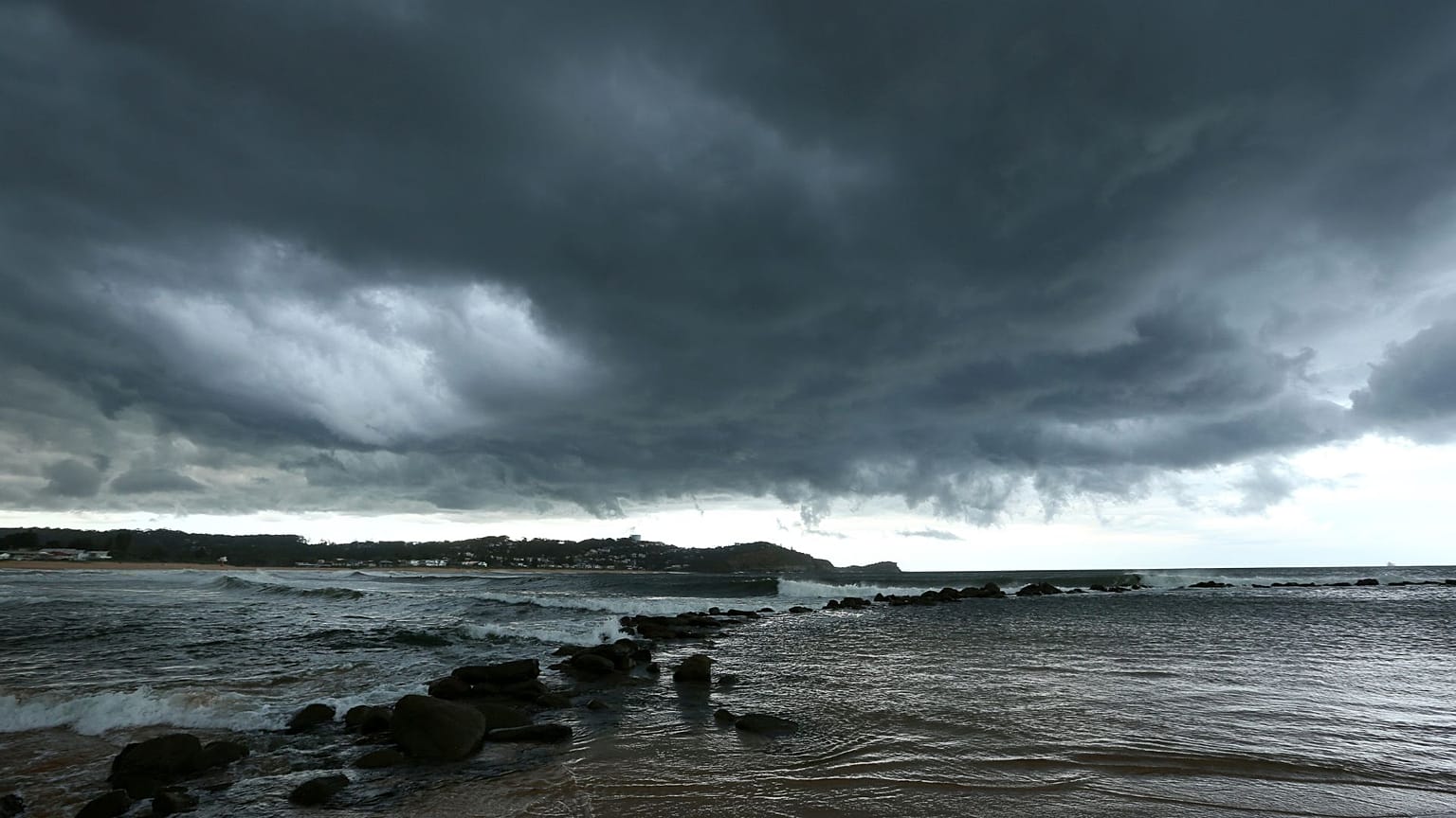
The weather phenomenon sees waters in the Pacific Ocean become much warmer than usual. This can have devastating effects, from searing heatwaves to stronger storms.
It is also costly: a new Dartmouth College study published in the journal Science estimates that the average El Niño costs the global economy about $3.4 trillion (€3.2 trillion). This is because it diverts spending away from technology and innovation toward recovery and rebuilding efforts.
How long will El Niño last in 2023?
According to the NOAA Climate Prediction Centre, the phenomenon will likely stretch into winter.
“The combination of a forecasted third westerly wind event in mid-late May, and high levels of above-average oceanic heat content, means that a potentially significant El Niño is on the horizon,” their alert reads.
“While at least a weak El Niño is likely, the range of possibilities at the end of the year (November-January) include a 80 per cent chance of at least a moderate El Niño.”
This will be the first El Niño since 2018-2019. Here’s what it will it mean for global weather.
What is El Niño?
El Niño steers weather patterns around the world, and can aggravate extreme weather events.
It is caused by winds in the Pacific that push warm water Eastwards as the Pacific jet stream moves south.
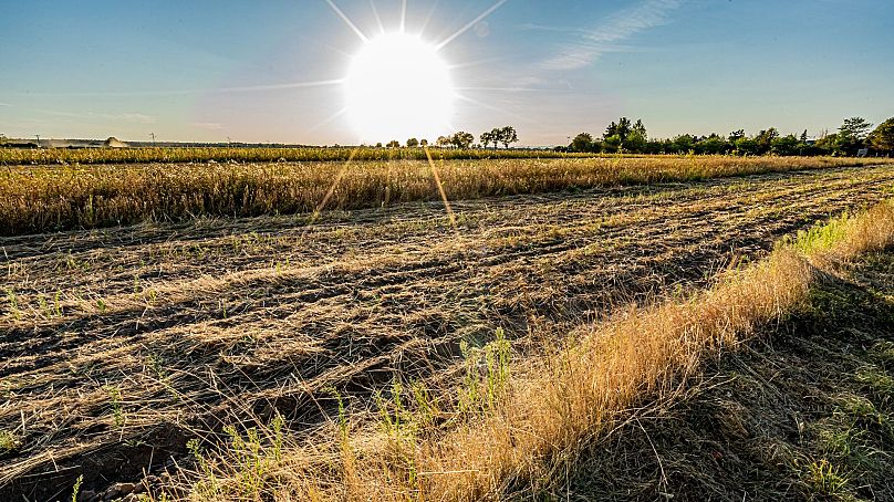
This increases global temperatures by around 0.2 degrees Celsius overall.
This year is already predicted to be hotter than 2022 and the fifth or sixth hottest year on record. 2024 could be even hotter as the impact of the weather phenomenon sets in.
There is a 50 per cent chance that 2023 will be the hottest year on record, NOAA have estimated.
What does El Niño mean for the weather?
While temperatures increase overall, the impacts are locally variable. Most El Niños hit their peak in late autumn or winter and thus have their strongest influence on weather patterns in the colder months.
In Europe, El Niño usually means drier and colder winters in the north and wetter winters in the south. In the US, it generates dryer and warmer weather in northern states and intense rainfall and flooding on the US Gulf Coast and Southeast.
Monsoons in India and rains in South Africa could be reduced, but east Africa could get more rains and flooding.
Indonesia and Australia will see an increased probability of bushfires as the weather heats up for the Southern Hemisphere summer.
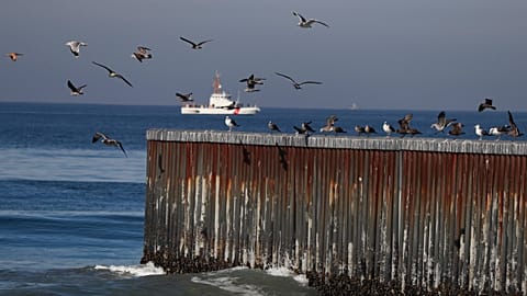
Is El Niño dangerous for marine life?
El Niño can increase the likelihood of coral bleaching and die-off. This is because it increases sea temperatures and exacerbates ongoing bleaching effects.
It can also damage marine life along the Pacific Coast. In normal conditions, a phenomenon known as 'upwelling' brings cool, nutrient-rich water up from the ocean depths. But El Niño supresses this phenomenon, depriving some fish of key food.