


The scientific phenomenon behind soaring temperatures and continuous thunderstorms across the UK and Europe explained
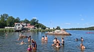
Europe has experienced a string of record-breaking temperatures and thunderstorms this year. May 2018 was warmer than the 1981-2010 average over most of Europe, especially in Scandinavia, according to Europe’s global monitoring for environment and security programme Copernicus.
Historic weather
May was also the warmest month in Finnish measurement history, according to statistics from the Finnish Meteorological Institute. Stations in Oslo and Gothenburg recorded the highest May temperatures on record.
France recorded April 2018 as the third-hottest April in over a century, behind 2007 and 2011.
In Strasbourg, Nancy, Metz, Saint-Dizier and Cambrai, the month of May was the hottest since measurements were taken.
Denmark’s weather in May was the sunniest in a decade.
And the Netherlands reported the hottest May in over three centuries.
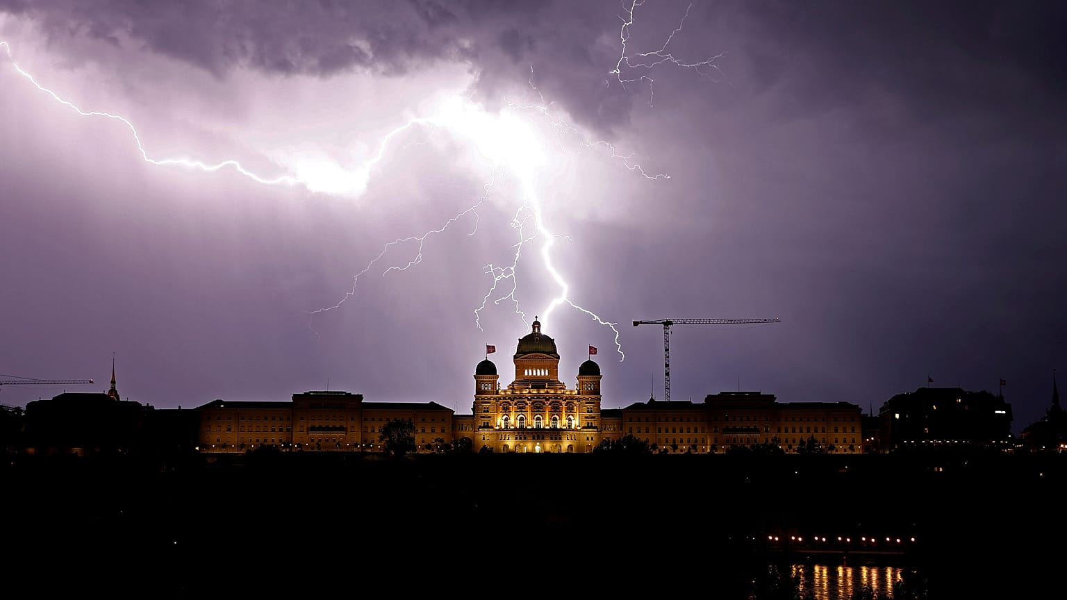
Stansted Airport in the United Kingdom had to cancel thousands of passengers’ flights due to thunderstorms and lightning damaging the equipment necessary to pump fuel to aircraft stands. In April, one man died in Kent after being swept off a harbour to sea.
France reports that it received double the previous record for lightning strikes in the month of May, totalling 110,000.
Twenty-eight departments in France were put on alert on Tuesday for more upcoming storms. Areas like Brittany have been hit with severe flash flooding. On Tuesday, a 35-year-old man was found dead in his car in Eure, Normandy, after it was submerged during flooding.
Why the wild weather now?
Something that is known as an Omega Block, or a stationary area of high pressure, is hanging above the continent, preventing the eastward transit of weather systems, according to the UK Met Office. It is called so when weak jet streams, or winds 5-7 miles above the earth’s surface responsible for circulating weather patterns, surround an area of high pressure from both sides, forming the uppercase Greek letter, Omega.
These blocks often stubbornly stick around in one place for prolonged periods of time, causing the area below to suffer from the repetitive weather. When warm, stagnant air from high-pressure areas pushes into the low-pressure areas, that air begins to rise with warmth, too. Surrounding air then swirls to take its place. As the air rises and cools, the water in the air forms clouds. Continuously fed by evaporating water from the ocean and earth’s surface, a hurricane forms.