




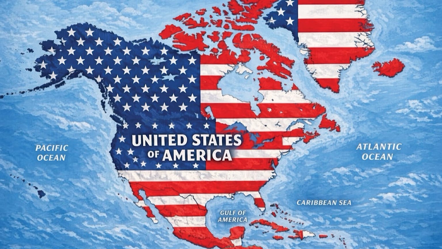













Washington's relationship with Iceland has been tested by Trump's Greenland threats, his Canada trade dispute, and a social media map placing Iceland within US borders.
Iceland's government has lodged a formal protest with the United States after US President Donald Trump shared a social media map appearing to fold the country into US territory.
 ADVERTISEMENT
ADVERTISEMENT
ADVERTISEMENT
According to a ministry statement, Iceland's Foreign Minister Thorgerdur Katrin Gunnarsdottir called the US ambassador to deliver a firm objection, telling the envoy the map was simply unacceptable.
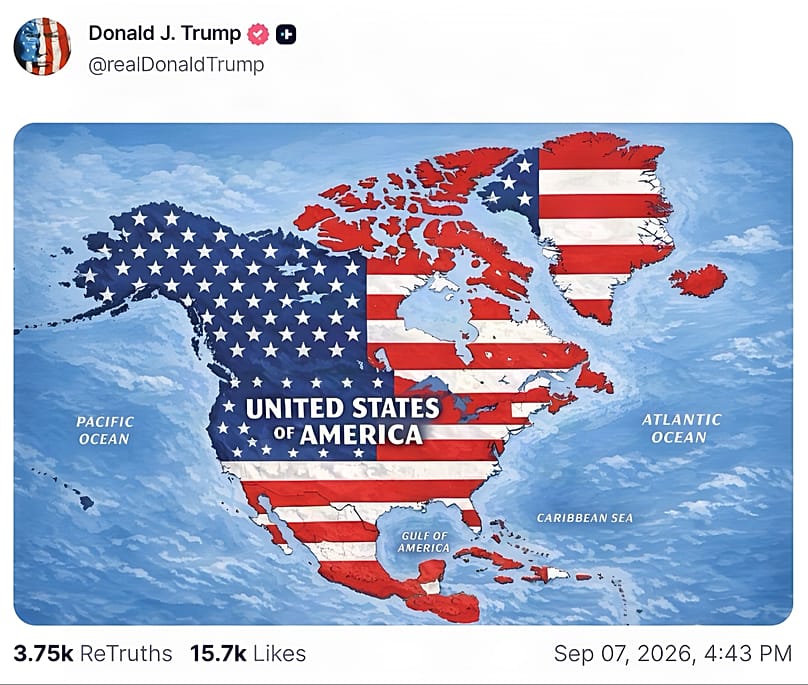
The image, posted Monday, showed a redrawn North America with Canada, Greenland, Mexico and Iceland all shaded in stars and stripes and captioned as a single "United States of America" — with no caption or context explaining the intent behind it.
Just days earlier, Icelanders had rejected a government push to resume EU accession talks in a 29 August referendum, a vote held partly in the shadow of Trump's own designs on Greenland.
The incident lands awkwardly given how central the US is to Icelandic security. Iceland has had no armed forces of its own since becoming independent in 1944, and instead relies on its NATO membership as one of its founders and a defence pact with Washington dating to 1951 for protection.
Reykjavik has had reason to be uneasy about Washington's intentions in the region already.
Trump has floated annexing Greenland — an autonomous territory of the Kingdom of Denmark barely 300 kilometres from Iceland's shores — and his tariff standoff with Canada has added to a sense that traditionally close US partners in the North Atlantic cannot take the relationship for granted.