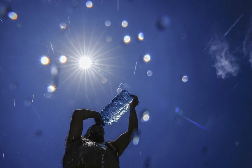
The weather event is likely to continue through winter into next year.
In July, the return of the El Niño weather phenomenon was officially confirmed by the World Meteorological Organisation (WMO).
 ADVERTISEMENT
 ADVERTISEMENT
On top of global warming from human-caused carbon emissions, experts have said it is a “double whammy” for extreme weather and record temperatures.
Now the National Oceanic and Atmospheric Administration (NOAA) has said that there is a 95 per cent chance that a moderate to strong El Niño season will continue until February 2024.
And we’re not likely to see the biggest effects of this weather event until next year.
So what can we expect?
Will El Niño affect Europe’s weather this winter?
El Niño events typically last between nine to 12 months but can persist for years, peaking between November and January. Scientists don’t really know why this is and we still have a lot to learn about these weather patterns.
The current event is expected to continue into 2024 with experts predicting it will grow stronger in the coming months and end in spring next year.
The complicated puzzle of the world’s weather systems, however, makes it difficult to predict how El Niño will affect Europe’s weather as the year goes on.
How it changes rainfall, wind, temperatures and other climate patterns could also vary depending on where you are on the continent.
“El Niño years have a tendency to have a mild wet and westerly start to winter (Nov-Dec) and a colder, drier end to winter (Jan-Mar) across most of northern Europe,” says Professor Adam Scaife, head of long-range prediction at the UK’s Met Office.
In southern Europe, it could bring wetter conditions overall. But, he adds, it's important to note that this is the average across many El Niño cases and isn’t strong enough to determine the outcome for certain.
“Instead, El Niño just shifts the probability in favour of these outcomes.”
He also notes that a slightly different pattern is often seen during the strongest events - like the one developing now.
The bottom line is that our climate is full of surprises. We never quite get exactly what we expect and El Niño is just one of a number of influences on Europe’s weather patterns.
“Tropical rainfall kicks off planetary-scale waves that affect Europe in winter. These can originate in the tropical Atlantic as well as from the El Niño in the Pacific,” Professor Scaife says.
Other weather influences may even disrupt the typical El Niño patterns. The stratosphere - the second layer of the atmosphere as you go upward - can also play an important role.
Every couple of years, for example, a breakdown of the winds in this atmospheric layer happens. It is often followed by a cold snap, regardless of whether El Niño is active.
What could happen in 2024?
The effects of the onset of El Niño tend to lag behind by a few months.
“There are interesting lagged effects for example in China where we expect heavy summer monsoon rains and flooding following a big El Nino,” Professor Scaife explains.
There is also an increased chance of ‘hotter than normal’ temperatures next year.
The last time a strong El Niño was in full swing in 2016, the world saw its hottest year on record. A big event at the end of this year would give a high chance of breaking temperature records once again.
Combined with rising temperatures from global warming, meteorologists believe that if conditions line up, 2024 could end up being the hottest year on record. There is a fear that it could push the world past the key 1.5C warming threshold.
Even before the weather event began in May, average global sea surface temperatures were already higher than any other on record. This could supercharge extreme weather around the world.
What is the El Niño Southern Oscillation?
The El Niño Southern Oscillation (ENSO) is a pattern of warming and cooling in ocean waters and winds of the east-central Pacific. It cycles between cool periods - La Niña - neutral periods and warm periods - El Niño. Warm phases tend to occur every two to seven years.
What happens in the Pacific Ocean doesn’t stay there, however. Understanding how the world’s climate system works is like fitting the pieces into a giant jigsaw puzzle.
Oceans interact with each other and the atmosphere which then in turn feeds back into the oceans. This impacts wind patterns and weather systems around the world.
The current El Niño follows a rare “triple dip” La Niña period which lasted nearly three years and ended in March. Both have the ability to cause extreme weather events with severe droughts around the world in recent years linked to the unusually long La Niña.
Research suggests that climate change could push these swings between warm and cool to be deeper and more intense.
Professor Scaife says that the exact effect of climate change on El Niño is still uncertain.
“We are confident, however, that the impacts of a given El Nino are getting ever stronger as the climate warms,” he explains.
“On top of the fact that this El Niño will likely be a big event and that it will occur in a warmer than ever climate, we can expect unprecedented impacts.”


