

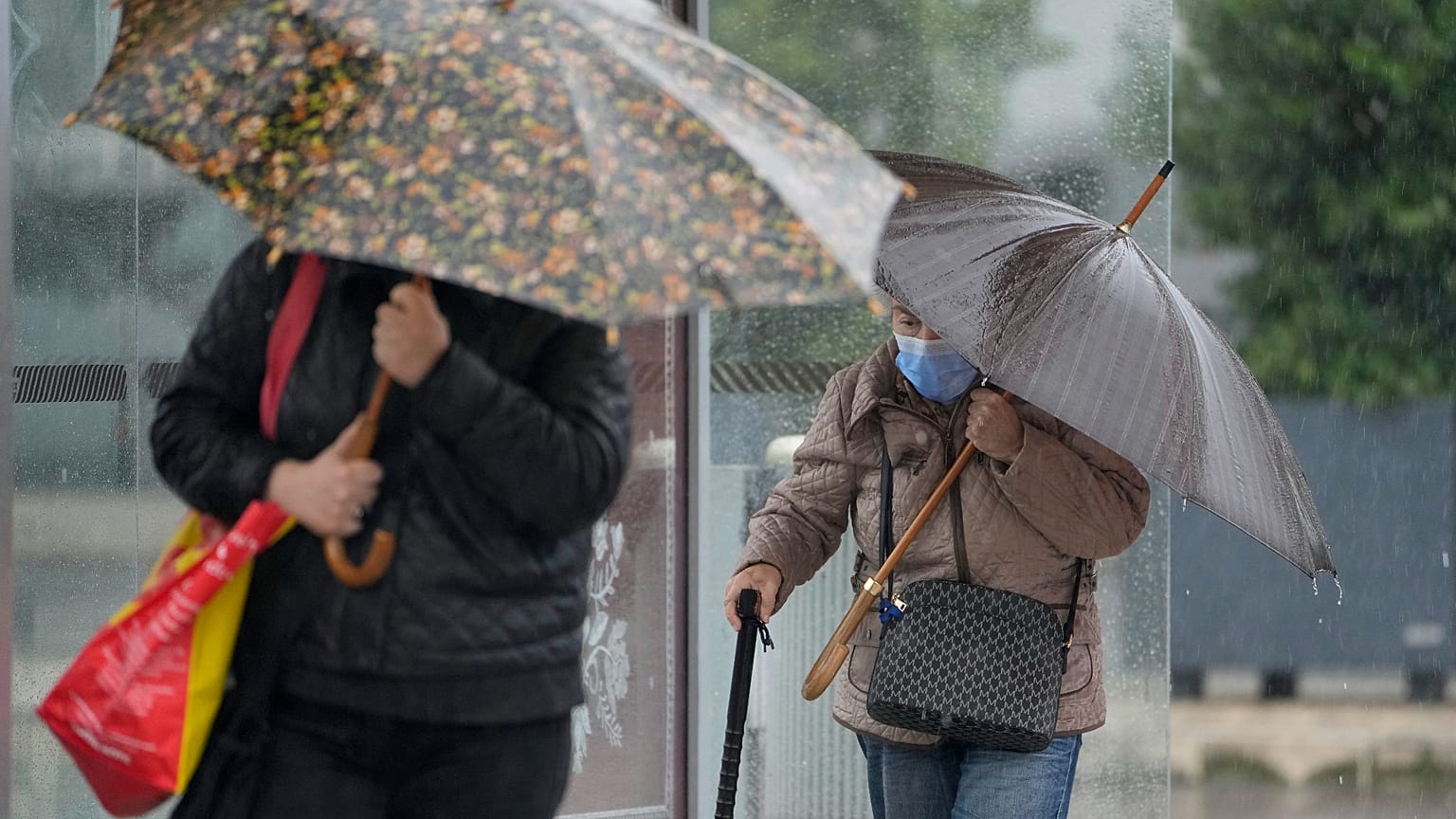













Portugal and Spain are preparing for the arrival of depression Charles, which will worsen the weather from Wednesday with heavy rain, wind gusts over 120 km/h and rough seas. Madeira will start to feel the effects on Tuesday.
Portugal is still under the influence of depression Bruna, but a new storm is already heading towards the Iberian Peninsula. A new depression, named Charles, will lead to a further deterioration in the weather, with torrential rain and winds that could exceed 100 km/h.
 ADVERTISEMENT
According to the Portuguese Institute for Sea and Atmosphere (IPMA) (source in Portuguese), depression Charles is expected to worsen the weather in Madeira from late Tuesday and on the mainland on Wednesday, with orange-level warnings.
In Spain, the Agencia Estatal de Meteorología (Aemet) also identifies Wednesday as the most severe period and Thursday as a day that will still be unstable, but less intense.
The two meteorological models, the European (ECMWF) and the American (GFS), indicate that the depression's initial track will run between the north of the Canary Islands and the Madeira archipelago. The next part of its path is still uncertain, but the available data suggest that the core of the storm could move towards the Iberian Peninsula via the Gulf of Cadiz or between Sines and Cabo Carvoeiro.
In Madeira, where Bruna caused widespread damage over the weekend, the worsening weather will be felt between the end of the day on Tuesday, the 10th, and the morning of Wednesday, the 11th. There is expected to be persistent and at times heavy rain, with accumulations of more than 100 mm in 12 hours in some areas, especially in the mountain regions.
The wind will pick up, blowing from the southwest, with gusts between 80 and 100 km/h, and could reach around 130 km/h in high ground. Sea conditions will also worsen during this period, with southwesterly waves of 3.5 to 4.5 metres on the south coast of Madeira island.
On the mainland, the deterioration in the weather associated with depression Charles is expected to be felt from late Wednesday morning. Gusts of wind of around 100 to 120 km/h are expected, and could locally be higher, IPMA says.
Rain will at times be heavy over much of the country. Along the coast, southwesterly waves of between 4 and 6 metres are also forecast south of Cabo Carvoeiro from Wednesday afternoon.
The Azores archipelago is not expected to be affected by the passage of depression Charles.
IPMA to issue orange-level warnings
IPMA has announced that orange-level warnings will be issued, without ruling out the possibility of an upgrade in some regions after the next updates of the weather forecast models. The orange warning, the second most serious on the scale, is issued by IPMA whenever there is a "meteorological situation involving a moderate to high risk".
Charles is the third named storm of the 2026/2027 season, after Adam, which remained over the Spanish Mediterranean, and the current Bruna. The new depression is a system of subtropical origin that formed at lower Atlantic latitudes, that is, in the areas where tropical cyclones occur.
Depression Bruna, which will remain almost stationary to the northwest of the Iberian Peninsula until Friday, is an independent system from Charles.
In Madeira, depression Bruna caused flooding, left ten people homeless and there is still one person missing. Between Saturday and Sunday it also forced dozens of flights to be cancelled at Funchal airport.
Civil Protection recommendations ahead of depression Charles
Because depression Charles is approaching, Civil Protection has urged the public to adopt preventive measures and avoid risky behaviour as the weather conditions worsen.
ANEPC warns in particular of the risks associated with travelling along the coastline, advising people to avoid staying in areas exposed to rough seas and to comply with all banned or restricted access areas that are properly signposted.
Another appeal is for people not to cross flooded areas, whether on foot or by car, because of the risk of people and vehicles being swept away, particularly into holes in the road surface or open manholes.
The authorities also recommend extra care when travelling or staying in wooded areas, because of the possibility of falling branches and trees, and keeping away from run-down buildings, retaining walls and embankments, where landslides may occur.
As part of prevention, they also advise the clearing of rainwater drainage systems, by removing leaves and other objects that could block the flow of water. Another measure recommended is the securing of loose structures, such as scaffolding, billboards and suspended structures, as well as objects outdoors and on balconies and windowsills, such as flowerpots, garden furniture or others.
At home, ANEPC also advises that shutters and windows be closed and reinforced, especially those facing into the wind.
On the roads, Civil Protection is calling for defensive driving, at reduced speed and with attention to the possible formation of standing water.