
Globally, December, January and February came in at 0.78C above average. But the last three months are part of a much bigger climate change picture.
This February was the world’s warmest on record, according to new data from the EU’s Copernicus Climate Change Service (C3S).
This is the ninth month in a row that temperatures have broken records. It comes after last year was revealed to be the hottest the world has seen since records began.
February was around 0.81C above the 1991 to 2020 average for the month and a tenth of a degree warmer than the previous record set back in 2016.
The ninth consecutive record-breaking month in a row alone is staggering, but put into perspective it highlights the trend of continued global warming.
“Back in July [2023], when we were discussing monthly temperatures, the news was that we were at about 1.5C for a month [above pre-industrial averages]. Now, February is about 1.77C above the pre-industrial averages,” says Carlo Buontempo, director of C3S. “It's quite remarkable.”
How much warmer was Europe this winter?
In Europe, the last three months have been the continent’s second warmest winter on record at 1.44C above average, only behind winter 2019/2020.
Variations across Europe, however, mean that some countries saw their warmest winter by far this year.
The National Observatory of Athens, for example, has said this winter was the hottest Greece has seen since records began. It has been 1.8C warmer than the average winter from 1960 to 2024 and in some northern parts of the country, experts say temperatures were up by much more. In this past decade, the country has witnessed its six warmest winters.
Poland saw temperatures between 3.5C and 7.5C warmer than average for February and Hungary recorded a national average of 7C higher than average.
Why has this winter been so warm?
Globally, December, January and February came in at 0.78C above average. But the last three months are part of a much bigger climate change picture.
“It has been a very warm winter, it has been a very warm autumn, a very warm summer, and has been the warmest year on record in 2023,” Buontempo explains.
“If you zoom out… the big picture is very, very clear. Things are getting warmer everywhere and this has implications for many of our activities. It has implications for ecosystems, for fisheries, for the ocean and so on and so forth.”
There are some other factors that may have pushed the world to a peak, setting record after record over the last nine months.
El Nino, for example, has been in the headlines, driving high temperatures, extreme weather, drought and crop failures around the world. But, if you compare this El Nino to previous ones, it hasn’t been as extreme as those seen in the late 1990s. Overall it is the fifth-strongest since records began.
“And still we have experienced much warmer temperatures,” Buontempo says.
“This is because, while El Nino adds and subtracts - depending on the phase you're in - from the global mean temperature, you have something that keeps adding. And that's the greenhouse gases.”
Sea surface temperatures away from the equatorial Pacific where El Nino has the biggest effect have been “persistently and unusually high” for 10 months. In January they were by far the highest on record, according to the World Meteorological Organisation.
This is worrying and cannot be explained by El Nino alone, it says.
As we shift into La Nina - the opposing side of the climate pattern - temperatures might come down momentarily. Fluctuations like the current particularly active phase of the sun can also add more energy to the system, making the world warmer and then cooler when their effect ends.
“These elements on average balance out while greenhouse gases keep going up. And so even if only for that, it is not very hard to predict the temperature will go up.”
Winter has also brought wild weather
It isn’t just temperature extremes that have plagued Europe this winter either.
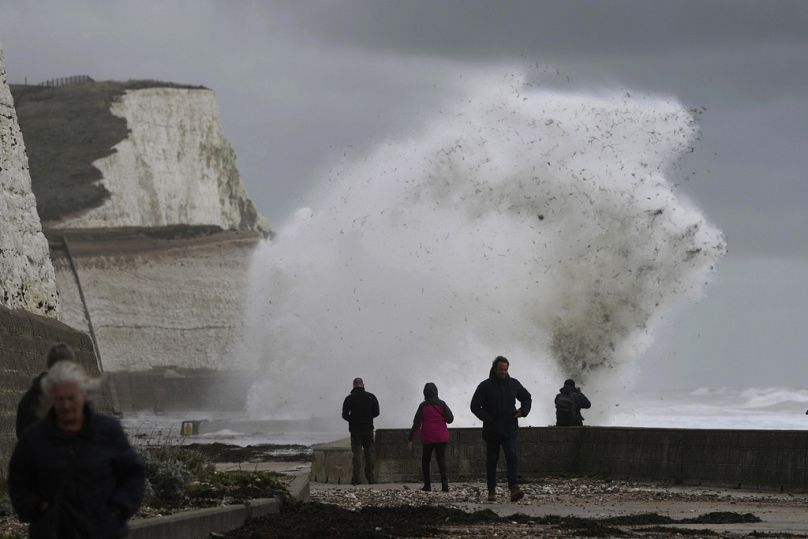
It was much wetter than average across a large band from the Iberian Peninsula to western Russia - covering the UK, Ireland and southern Scandinavia.
Wind and heavy rainfall brought widespread damage and destruction. In the UK, 10 named storms from Agnes to Jocelyn had hit the country by the start of February.
At the opposite end of the scale, Mediterranean countries, parts of the Balkans, much of Türkiye, regions of Iceland and northern Scandinavia, as well as large parts of western Russia were drier than average.
The Mediterranean in particular has seen catastrophic impacts that have led to water shortages, rationing, restrictions and states of emergency for millions of people.
Buontempo gives this as an explanation: dry areas will get drier and wet areas will get wetter. It's a catchphrase that simplifies and encapsulates the thermodynamic impact that rising temperatures have on a number of other variables.
Broken temperature records are not unexpected
Though there have been some surprises as transitions are faster or stronger than experts anticipated, “broadly speaking, what we are seeing now is quite reasonably well aligned with what we were expecting to see maybe 20 years ago,” according to Buontempo.
What do we know about the next six months, the next five or ten years? It's simple, he says, we know that the average temperature will go up.
“As a society, we possibly haven't yet taken full advantage of the information we have.”
While this scenario of continued warming might be “disappointing or alarming” depending on how you look at it, Buontempo adds that it is at least one where we are lucky enough to know what is going to happen - and are therefore able to act on it.
“I think it makes sense to take notice and use this as one of the inputs in strategic decision-making and policy-making.”


