
The search giant says it will show crowding information for "over 10,000" transport agencies as travellers look to maintain social distancing.
Google Maps will tell travellers in more areas how busy their public transport is as more commuters look to stay COVID safe, the search giant announced.
The functionality, which launched for Google Maps iOS and Android users in around 200 cities in 2019, is being expanded to cover "over 10,000 transport agencies in 100 countries," Google said.
Google's information on how busy trains, buses and metro systems are is generated using historical location data and self-reporting from Google Maps users who respond to push alerts asking them how busy their public transport was.
The journey data that goes into making Google's "crowdedness" predictions is anonymised, the company said.
Transport agencies contribute tech
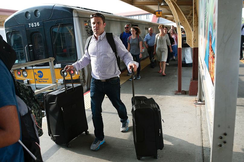
Google is relying on technology developed by New York's Long Island Rail Road (LIRR) to show Google Maps users in NYC how busy specific train carriages will be on their journeys. Data from Transport for New South Wales will give travellers in Sydney similar information.
"In New York and Sydney, we’re piloting the ability to see live crowdedness information right down to the transit car level," wrote Google Maps director of product Eric Tholomé in a blog post published on July 21.
The real-time information that Google Maps displays in New York and Sydney is sourced from technology developed by the transportation agencies themselves.
In the case of the LIRR, data from sensors that track movements in and out of carriage doors or the total weight of a train's seating cabin provide a real-time estimate of how many seats are occupied in any given carriage.
"The LIRR is not only looking at best practices across the industry, but developing our own,” said company president Phil Eng in a statement.
“Through our work with Google, more customers will be able to know as much information about their ride as possible. We want to make it as easy as possible for riders to make safe decisions as they return to the railroad."
Can you opt out?
While Google says the expanded public transport crowding tracker has been "designed with privacy in mind," some users may feel uncomfortable feeding the internet giant their location data.
For those who would rather not share the information, location can be disabled from within your Google account by following these steps:
- The easiest way to go to your Google Account's home page is by tapping/clicking on your profile picture in the top right corner of the Gmail app or the google.com search page and selecting "Manage your Google Account".
- Choose "Data & Personalisation" from the list of options.
- Scroll to "Activity Controls" and select "Manage your activity controls".
- Choose what you'd like to share by toggling the options on and off. To stop sharing location data with Google, you need to turn "Web & App Activity" and "Location History" off.


