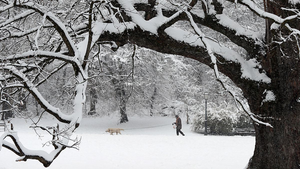
High pressure is drawing cold air from Siberia and dumping it further south and west that it usually does, UK Met Office meteorologist Martin Bowles told Euronews.
It's been unusually cold in certain parts of Western Europe this week. Euronews talked to meteorologist, Martin Bowles, from the UK Met Office to find out what is causing the very cold weather.
Why is it unusually cold in certain parts of Europe?
High pressure over the North Sea heading northeast into Scandinavia is responsible for the cold wave, according to Bowles.
The meteorologist explained that the high pressure was drawing cold air from Siberia and pushing it southwest, "much further south and west than it usually does." That's how very cold air is reaching parts of Germany, France, and the UK.
The longer this pattern lingers, the colder it will get, added Bowles.
For the meteorologist, this kind of weather phenomenon is "unusual but not record-breaking".
How long is it going to last?
"We're not really sure how long (the cold will last)," said Bowles.
The length of time the cold will last will depend on how long the blocked pressure pattern stays around, said the meteorologist.
But the Met Office is sure that the wave of cold will be here for the whole of next week.
Which countries will be the most affected?
"If you draw a line from the top end of Portugal through the Alps and as far as Hungary, anywhere north from that will have significantly colder temperatures than usual," said Bowles.
Should we only expect lower temperatures or also wind, precipitation?
A "wind chill" — a strong easterly wind — will make temperatures feel five or six degrees colder than what the thermometer suggests, explained Bowles, "so it might feel like minus four or minus five in the middle of the day."
Is all this somewhat related to climate change?
Bowles doesn't believe that this phenomenon is not directly related to climate change.
However, he explains that a rapid increase of stratospheric temperature in the North Pole may lead to colder temperatures in Western Europe:
"Over the North Pole, the temperatures of the stratosphere - which is the very high part of the atmosphere - increased rapidly, 50 degrees in a day or two. And we noticed directly that when that happens it tends to lead to a cold, slow-moving blocked pattern."
Any advice for the next few weeks?
The meteorologist advised to keep an eye out for those who may be most vulnerable to the cold, such as elderly or disabled people.
